Why Learning GIS Today Is One of the Smartest Career Moves You Can Make
The World Is Built on Data — and GIS Makes It Make Sense
We live in a world where everything happens somewhere. From where people live and travel to how resources move and ecosystems change — location connects it all.
That’s why Geographic Information Systems (GIS) isn’t just another technical skill. It’s the universal translator between raw data and real-world insight. Whether you’re analyzing population health, planning city infrastructure, or tracking climate change, GIS gives you the power to visualize and understand patterns that would otherwise stay hidden.
In short: GIS turns data into decisions.
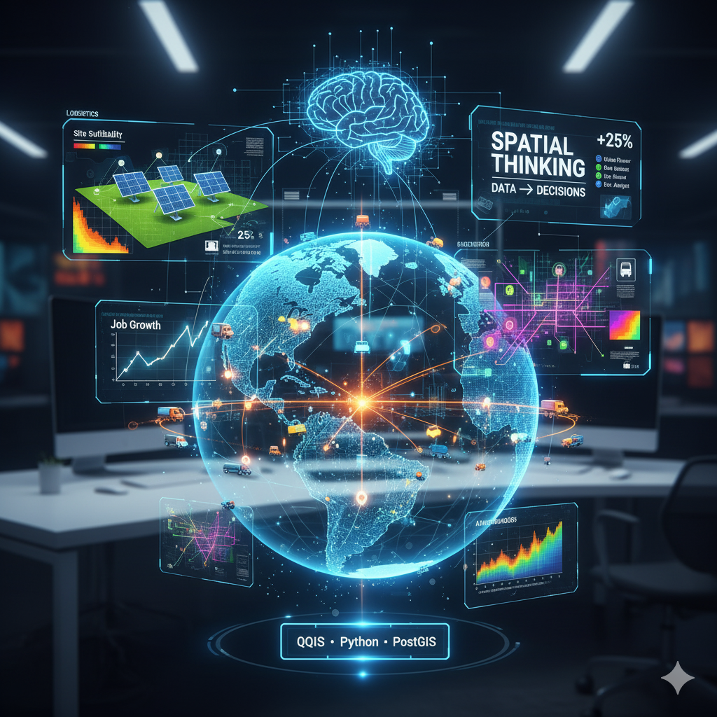
1. The Future Runs on Spatial Thinking
Look at the biggest global challenges of our time — climate change, supply chain resilience, urbanization, renewable energy, even public health crises. What do they all have in common? They depend on understanding where things happen and why.
That’s spatial thinking — and GIS is the technology that powers it.
As industries evolve, the professionals who can interpret, visualize, and communicate spatial data are becoming some of the most valuable assets in the workforce. Governments use GIS to model sea-level rise and disaster response. Businesses use it to map customer demand. Farmers use it to manage water, soil, and nutrient use. The applications are endless — and expanding.
2. GIS Bridges the Gap Between Disciplines
GIS sits at the intersection of science, technology, and storytelling. It’s not just for geographers — it’s for:
- Data scientists, who use GIS to add a spatial dimension to analytics.
- Urban planners, designing smarter and more sustainable cities.
- Environmental scientists, tracking the pulse of ecosystems in real time.
- Marketers, identifying where audiences live, move, and buy.
- Engineers and policymakers, evaluating infrastructure investments with geographic precision.
No matter your field, GIS helps you connect data to context — and context to action.
3. Automation and AI Are Growing — But GIS Makes Them Smarter
Artificial intelligence and automation are reshaping the job market, but GIS isn’t being replaced — it’s becoming integrated.
Modern GIS tools now combine AI, machine learning, and remote sensing to make predictions, simulate outcomes, and deliver real-time insights. For example:
- AI models that predict wildfire spread based on topography and wind data.
- Smart city dashboards that monitor traffic and energy use in real time.
- Satellite-driven agriculture tools that measure crop health and optimize fertilizer use.
These systems all depend on spatial data — and professionals who can interpret it. GIS makes AI more meaningful, because place gives data purpose.
4. It’s Easier Than Ever to Learn (and More In-Demand Than Ever)
Not long ago, mastering GIS required expensive software and formal academic programs. Today, open-source tools like QGIS and accessible online platforms have changed the game. You can now learn GIS fundamentals in days — and build projects that immediately add value to your portfolio.
Meanwhile, job demand continues to grow. According to labor trends, roles requiring GIS or spatial analytics skills are expected to rise by over 25% in the next decade. That includes positions in:
- Renewable energy and climate resilience
- Environmental consulting
- Urban and regional planning
- Logistics and transportation
- Real estate and insurance analytics
- Agriculture and precision farming
In other words — learning GIS is not just future-proof, it’s future-fueling.
5. GIS Gives You the Power to See the Bigger Picture
GIS helps you move beyond tables and spreadsheets to visualize how systems interact — people, places, and processes. That ability to “see the whole” is what separates analysts from strategists, and employees from leaders.
Whether you’re managing natural resources, running a business, or guiding public policy, GIS helps you make smarter, more data-driven decisions. It gives you a voice in shaping the future — one that’s sustainable, efficient, and equitable.
The Bottom Line
Learning GIS isn’t about maps — it’s about mastering the language of modern decision-making. As industries become more interconnected and data-driven, the professionals who can bring spatial intelligence to the table will lead the next generation of innovation.
And the best time to start? Now.